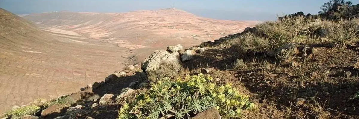
Vallebrón in Fuerteventura is a meeting point where you can connect with nature, discovering some of the best-known native species along its trail while enjoying wonderful views of emblematic places on the island. Would you like to discover it?
Origin of Vallebrón in Fuerteventura
The name Vallebrón has a particular meaning that refers to the toponymy of this spectacular natural landscape. It comes from the Castilianisation of “Valle de ahemon”, in which ahemon translates as “where there is water” or “hidden water”, according to the language of the island’s ancient inhabitants.
The water in the Vallebrón Natural Landscape is located underground, as the surface is made up of a plain of arid land.
How Do You Get to the Vallebrón Viewpoint in Fuerteventura?
The Vallebrón viewpoint in Fuerteventura is located between the municipality of La Oliva and Puerto del Rosario, in the north of the island. To access the viewpoint, you can get there by car, taking the FV-10 road and following the signs you will find along the way.
If you are going to take a bus or guagua, as the inhabitants of the Canary Islands call the bus, to the Vallebrón viewpoint in Fuerteventura, you should take line 7, which will leave you as close as possible to the access point of this surprising natural landscape.
Viewpoint and Natural Area of Vallebrón in Fuerteventura
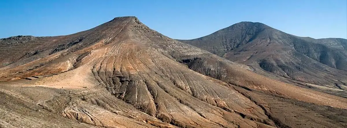
Vallebrón is the name by which locals and tourists know this immense geomorphological unit of “cuchillo” and “morros” relief, where one of the island’s main mountains, Montaña de La Muda, is located on its north-eastern slope. However, the official name of this place is Mirador de la Degollada de Valle Grande.
The viewpoint and trail of Vallebrón in Fuerteventura have great scenic beauty, standing out for their elongated ridge and knife-shaped relief, delimited by two U-shaped ravines. This elongated ridge is formed by Montaña de La Muda.
The entire landscape covers an area of more than 1,679.6 hectares and has an average altitude of more than 145 m. Meanwhile, the highest peak of the natural landscape of Vallebrón in Fuerteventura, La Muda, reaches 689 m in altitude.
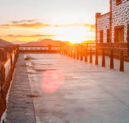
The views offered by the Mirador de la Degollada de Valle Grande allow you to observe different natural landmarks such as the mystical Montaña de Tindaya, Los Pedregales, part of La Oliva and Barranco Esquinzo.
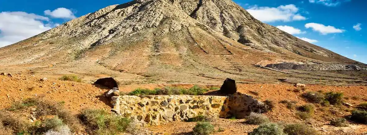
The Vallebrón viewpoint was declared a Natural Area of National Interest by Law 12/1987 on the Declaration of Natural Spaces of the Canary Islands for the Vallebrón Slopes. Later, it was named a protected landscape of Spain by Law 12/1994 on Natural Spaces of the Canary Islands.
Eastern Slope: Montaña de La Muda
Located in the neighbourhood of La Matilla, you will find the highest point, through which a section of the trail of the natural landscape of Vallebrón in Fuerteventura passes: Montaña de La Muda.
The history of Montaña de La Muda is full of intrigue and mysteries similar to those of Montaña de Tindaya. This site is known as “the church of the mahos”, the ancient inhabitants of the island of Fuerteventura, and there you can observe certain Canarian engravings and rock constructions.
Montaña de La Muda borders two other emblematic protected areas on the island: the Malpaís de la Arena Natural Monument and the Tindaya Natural Monument.
Hiking Through Vallebrón in Fuerteventura
Do you like medium to high difficulty routes? Then the 16 km Vallebrón trail in Fuerteventura could become quite a challenge for you. We recommend wearing cool clothing, as temperatures are generally high, as well as good sun protection and trekking footwear.
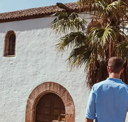
Along the trail, you will pass several points of natural interest. You will have the opportunity to skirt Tindaya, go around La Muda and finish in the picturesque village of Tefía, where the Hermitage of San Agustín is located.
The route along the Vallebrón trail in Fuerteventura can take approximately 5 hours. Therefore, we emphasise the importance of carrying liquids to stay hydrated, wearing the right gear and bringing navigation tools. That way, you will be ready for the adventure.
Native Species in Vallebrón in Fuerteventura
The Vallebrón trail in Fuerteventura passes through a U-shaped valley divided by two watercourses, where you can observe the island’s natural fauna and flora.
Within this natural plain in Vallebrón in Fuerteventura, you will find native Canarian species such as tabaibal, aulaga, mato and espino.
Likewise, among the birdlife, you may be able to spot a tarabilla and a guirre, both native species of the Canary archipelago.
Discover the Surroundings of Vallebrón in Fuerteventura
Once you have finished your route through the Vallebrón viewpoint and trail, you should not miss the chance to discover the surroundings of this magical landscape.
Create a travel guide to Fuerteventura and do not forget to include the picturesque town of Betancuria, as well as the beautiful beaches and tourist sites of Corralejo or Jandía, and the island’s capital, Puerto del Rosario.
The island of Fuerteventura has a wide variety of natural destinations and charming villages that are well worth enjoying. Are you ready to travel?
If you are thinking of completing the route of the Vallebrón viewpoint and trail in Fuerteventura and spending a few relaxing days in the surrounding area, then you will need a good place to stay during your holidays.
At the Lopesan Group, we offer our guests excellent hotels and accommodation deals in Fuerteventura so they can enjoy the very best of the island.